














Tracking Trees
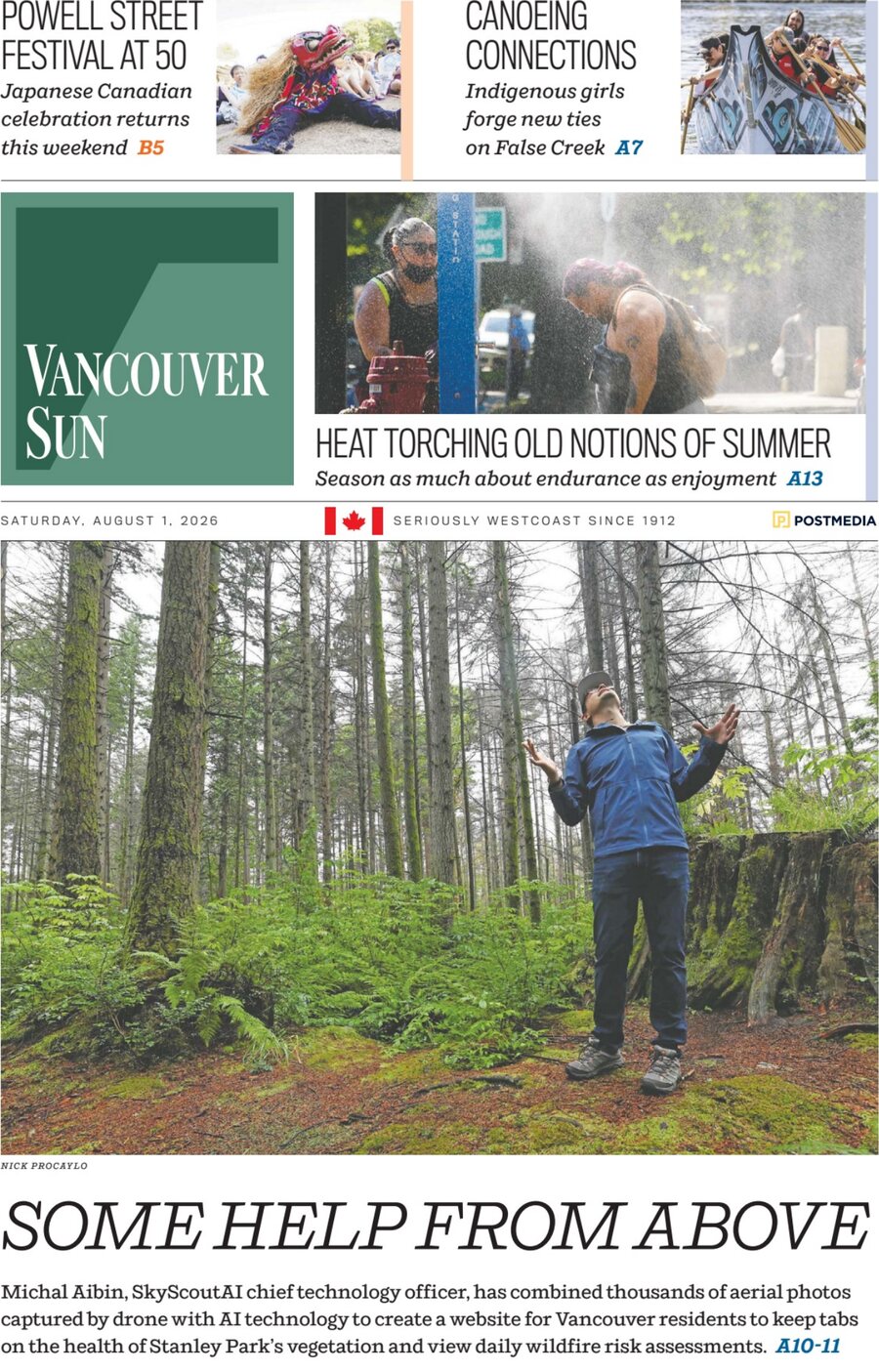
A three page feature on Park Scout, the site that lets Vancouver residents explore every dead tree in Stanley Park.
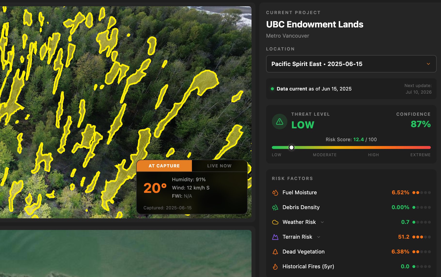
Reporter Lori Culbert followed SkyScoutAi and BCIT's disaster resilience research hub through the park, where more than 7,000 drone photographs were turned into three online maps: daily wildfire risk, points of interest, and all 283 sections of the park with statistics on dead vegetation, debris piles, moisture and terrain.
Print edition of Saturday, August 1, 2026. Photographs by Nick Procaylo. Published by the Vancouver Sun, Postmedia Network Inc. Also available in the Vancouver Sun ePaper.